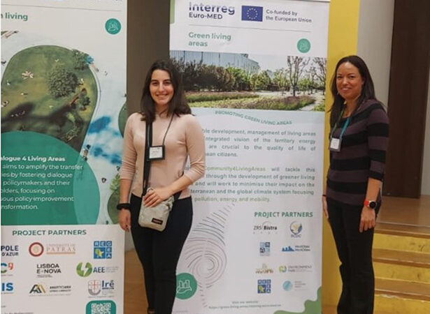
The University of Malta, Lead Partner of the ReMED INTERREG Euro Med project, was invited to participate at the Green Living Areas Thematic Community Kick-off event organised on 10 and 11 April 2024 at the Environment Park, in Torino Italy.
ReMED addresses the Green Living Areas mission, with the specific objective or promoting climate change adaptation and disaster risk prevention, resilience, taking into account eco-system based approaches.
The University of Malta, Faculty for the Built Environment is the Lead Partner of the ReMED Project. ReMED aims to address sustainability and resilience of cities through assessment, design of optimal measures for climate adaptation, implementation and monitoring.
The project includes nine (9) partners from five (5) different countries: The Faculty for the Built Environment at the University of Malta as Lead Partner, Eco Gozo at the Ministry for Gozo, the Comune di Genova (Italy), iiSBE Italia R&D (Italy), the Municipality of Fylis (Greece), National Observatory of Athens (Greece), the Municipality of Crikvenicia (Croatia), CIEDES Foundation (Spain), and the Municipality of Malaga (Spain).
The 19 INTERREG Euro Med Projects working under the “Green Living Areas” mission have the objective to improve the sustainability of territories and consequently the quality of life in the Euro-MED region, supporting local and regional authorities and main stakeholders in this transition.
The Thematic projects will be accompanied by one Mission task force composed of 2 governance projects, supporting them in different dimensions:
- The Community4Living Areas project – C4LA will build a strong Community among the projects of the mission, facilitating the creation of synergies among their activities and results.
- The Dialogue4LivingAreas project – D4LA will amplify the transfer of policies by fostering dialogue among policymakers and public stakeholders, focusing on continuous policy improvement and transformation.
The ReMED Project was represented by the University of Malta as Lead Partner, and project partners EcoGozo, iiSBE R&D and Comune di Genova.
The first day was dedicated to Community building, Lead partner presentations, a co-creation workshop and community building activities, whilst the second day included actors from outside the community, notably public policymakers, to exchange best practices related to tools, strategies, and policy instruments for promoting greener territories and engaging citizens in the transition.
The University of Malta delegation included Research Support Officers Perit Faye Sciberras and Ms. Andrea Francesca Bellia and the ReMED objectives and strategy were presented at the workshop by the University of Malta and other project partners present.


